Estimated reading time: 3 minutes

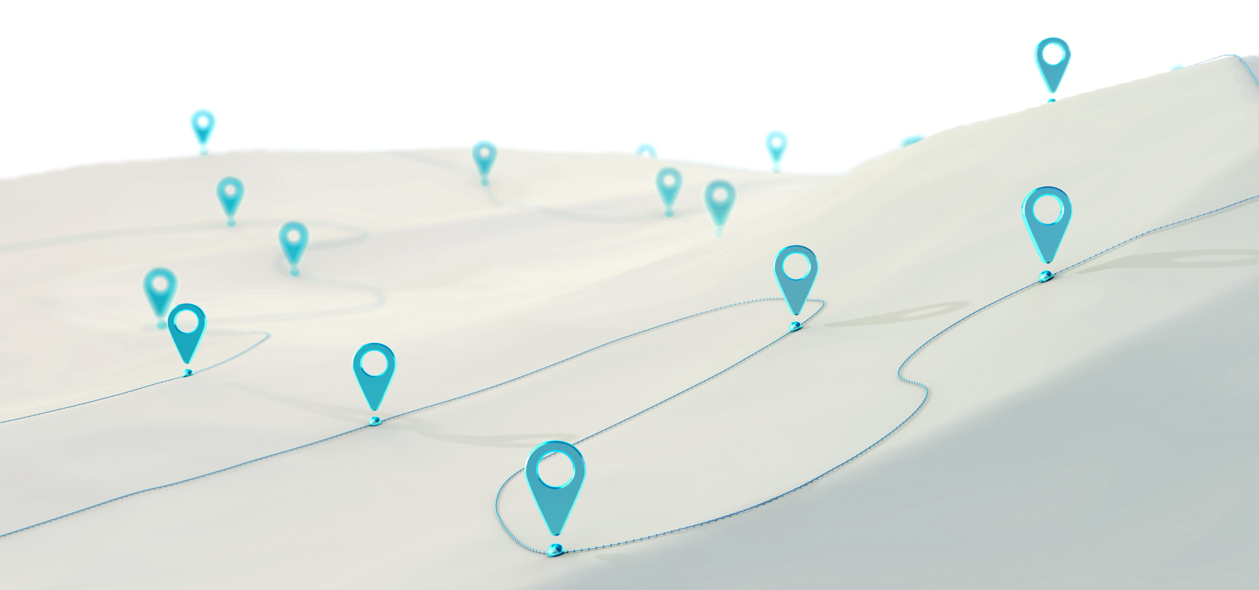
3D modeling using drones is an innovative technology that allows for the creation of detailed, accurate 3D models of buildings, landscapes, and other structures. Drones equipped with cameras and specialized software can fly over a location and capture images from multiple angles. These images are then used to create a 3D model of the object or area in question.
One of the biggest advantages of 3D modeling using drones is the speed and efficiency with which it can be done. Traditional methods of creating 3D models, such as using ground-based surveying equipment, can be time-consuming and labor-intensive. With drones, however, large areas can be surveyed in a matter of minutes, and the data can be processed quickly to create a detailed 3D model.
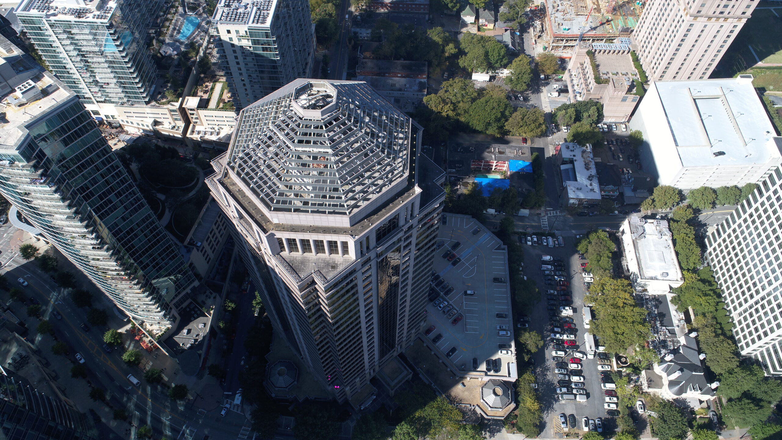
Another advantage of using drones for 3D modeling is the level of detail and accuracy that can be achieved. Drones can capture images from multiple angles, including oblique views that are difficult to obtain using other methods. This allows for the creation of highly accurate 3D models that can be used for a variety of applications, such as architectural design, construction planning, and land management.
There are many different types of software available for creating 3D models from drone images. Some of the most popular include Pix4D, Agisoft Photoscan, and Autodesk ReMake. These software programs can automatically process the images captured by the drone to create a 3D model, and they often include tools for editing and analyzing the data.
Despite the many benefits of 3D modeling using drones, there are some limitations to consider. Drones are not able to fly in certain areas, such as inside buildings or in restricted airspace, so they may not be able to capture images of certain structures or areas. Additionally, the quality of the images captured by the drone can be affected by factors such as lighting, weather, and the skill of the operator.
Overall, 3D modeling using drones is a powerful tool that can provide detailed, accurate 3D models of buildings, landscapes, and other structures in a fraction of the time required by traditional methods. With the right software and a skilled operator, drones can be used to create 3D models that can be used for a wide range of applications, from architectural design to land management.