Jun 18, 2024 / Construction / 3 min read
Monthly Progress Photos: A Site Archive That Holds Up in a Dispute
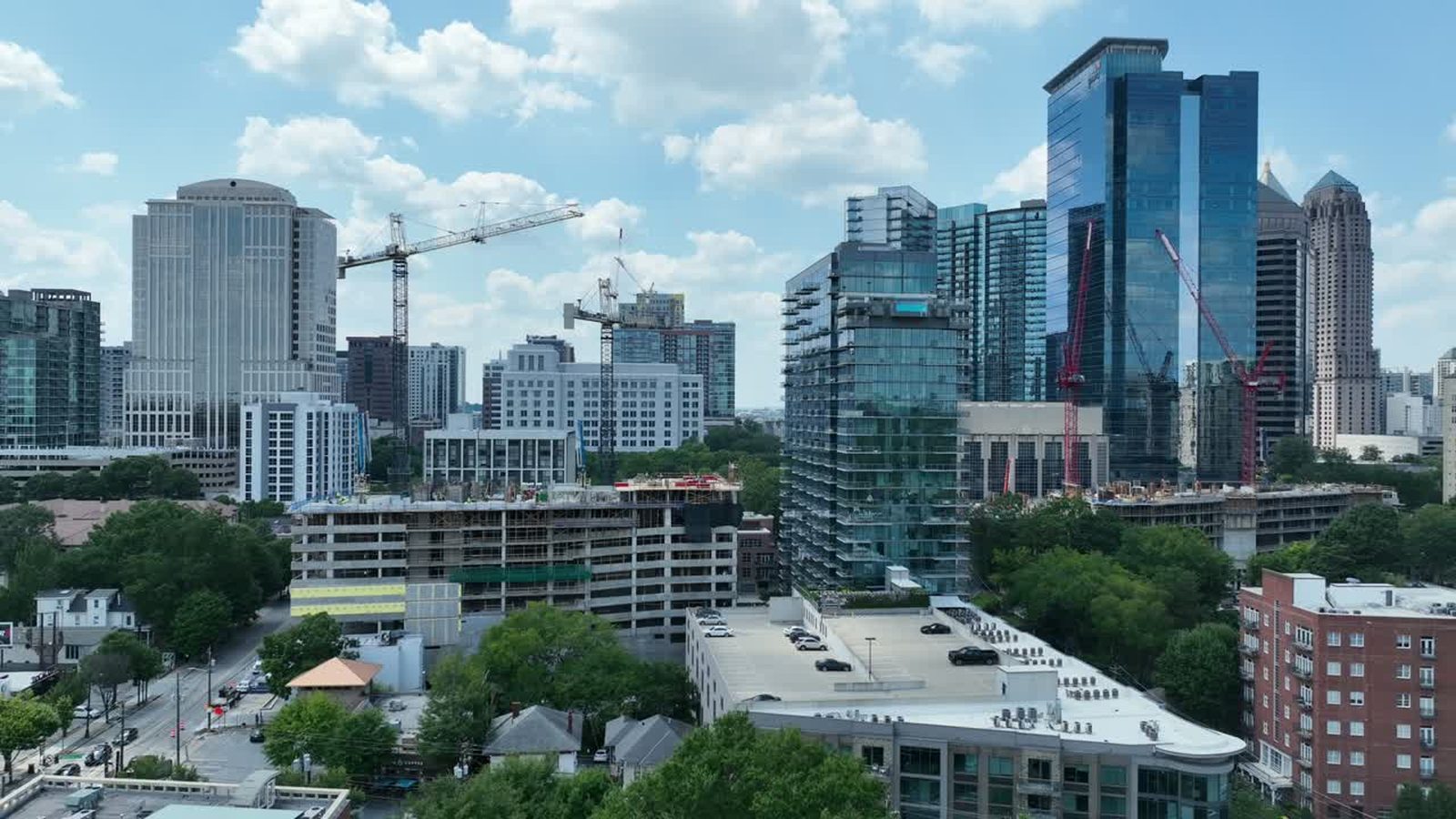
Most construction clients come to us for a marketing video and leave with something duller and more useful. A monthly aerial record of the site, shot from the same positions at the same altitudes, is one of the cheapest forms of risk management on a project, and it almost never gets budgeted until somebody has needed it once.
Why consistency beats quality
A beautiful aerial photograph of a site in month four tells you very little. Twelve photographs from the same coordinates, the same heading, and the same height across twelve months tell you exactly when the slab went down, when the crane arrived, when the envelope closed, and how long the site sat with nothing happening in the north east corner.
That is why we save the flight. Waypoints are recorded on the first visit and reflown every month, so the frames stack. Anyone can hold the images side by side and see change without having to interpret anything, which matters when the person looking is a lawyer rather than a builder.
What it settles
Delay claims are the obvious one. When two parties disagree about when access was available or when a trade actually got on site, a dated, geolocated image set answers it faster than a stack of daily reports written by people with an interest in the answer.
There are quieter uses. Material deliveries and laydown areas are visible, so stock disputes get resolved. Site conditions before a subcontractor arrives are documented, which protects both directions. Erosion controls and stormwater measures are visible from above in a way they never are from a truck window, which matters when an inspector comes calling.
What a monthly flight looks like
It is short. Four to six fixed camera positions around the perimeter, one overhead orthogonal pass of the whole footprint, and a handful of detail frames wherever the superintendent points. On a mid sized site the aircraft is airborne for under thirty minutes and we are off the property inside the hour, usually before the morning pour is finished.
Deliverables are full resolution stills with location data intact, organised by date, plus the overhead composite. If the project wants a marketing asset out of it, the same flights cut into a time lapse at the end without any extra shooting, which is the cheapest video a project will ever produce.
Where it fits with what you already do
This does not replace the reality capture platforms that many general contractors already run inside the building. Those tools are better than aerial imagery at documenting what is behind a wall. They are also blind to everything outside the envelope, which is where the schedule disputes and the neighbour complaints tend to live.
We covered the general case for site monitoring in monitoring construction sites with drones. The argument for booking it monthly rather than occasionally is simply that the value comes from the sequence.
The awkward part
The archive is most valuable on the projects that go badly, and nobody starts a project expecting that. It is a small recurring cost against a risk that is rare and expensive, which is a difficult sell right up until the month it pays for itself several times over.
If you have a project starting in metro Atlanta, the right month to begin is the one before the ground is broken. Tell us where the site is and we will put the schedule together.