Apr 16, 2024 / Inspection / 3 min read
Roof Inspections by Drone Before Georgia Storm Season
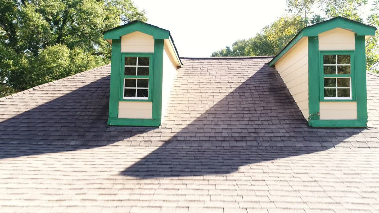
Georgia's severe weather season runs hard through spring, and every year the same conversation happens in May. A roof took a beating, an adjuster asks what condition it was in beforehand, and nobody has a single dated photograph from before the storm. The claim becomes an argument about age rather than about damage.
The fix costs less than most people assume and takes about an hour.
What a drone actually sees up there
A drone at fifteen to twenty feet above a roof plane, shooting straight down, resolves individual shingles. Fly the slopes methodically and you get granule loss, lifted tabs, cracked boots around plumbing penetrations, rusted flashing, separated ridge caps, and standing water on flat sections. On a commercial membrane roof you see seam condition, ponding, and the state of every curb and unit.
All of it is geotagged and timestamped. That is the part that matters later.
Why this beats a ladder
It is faster, it covers the whole roof rather than the accessible parts, and nobody goes up. Falls from height remain the leading cause of death in construction, and a residential steep slope roof in Georgia summer heat is not a place anyone should be if the job can be done from the air.
It is also more complete. An inspector on a ladder photographs what they can reach and describes the rest. A flight photographs everything, including the valley behind the chimney that nobody wants to climb to.
What it does not replace
Aerial imagery documents the surface. It does not tell you the decking is soft, it does not measure moisture in the insulation, and it is not a substitute for a licensed roofer's judgement about whether a repair or a replacement is warranted. What it does is let that professional look at the whole roof before deciding where to spend their time, and it gives everybody a shared record of what was there on a specific date.
Moisture below the surface is a different tool and a different flight, and we will come back to thermal work later in the year. For the wider case for aerial documentation on buildings, see architecture photography and drones.
The insurance angle
Adjusters deal with a predictable dispute. The homeowner says the storm did it, the carrier suspects the roof was already tired. Without prior imagery this comes down to inference from the damage itself, and inference favours whoever writes the cheque.
A dated set of pre storm images changes the conversation completely. It is also useful for property managers who take on a building and want a baseline condition record, and for anyone buying a commercial property who does not want to inherit somebody else's deferred maintenance.
How we run one
We check the airspace, walk the property, and fly a grid over each roof plane at a fixed height so the images have consistent scale. Then we fly the elevations, because gutters, fascia and siding tend to be part of the same story. You get a folder of full resolution stills with location data intact, plus a short set of annotated frames pointing at anything that looked wrong to us. We are not roofers and we do not write repair recommendations. We give your roofer better information than they have ever had.
A typical single family property is under an hour on site. A commercial roof depends on the square footage and how many units are up there.
If you own or manage property in metro Atlanta and you have never had a baseline set taken, the time to do it is before the next storm, not the week after.