Jan 21, 2025 / Survey / 3 min read
LiDAR or Photogrammetry: Which One Your Project Actually Needs
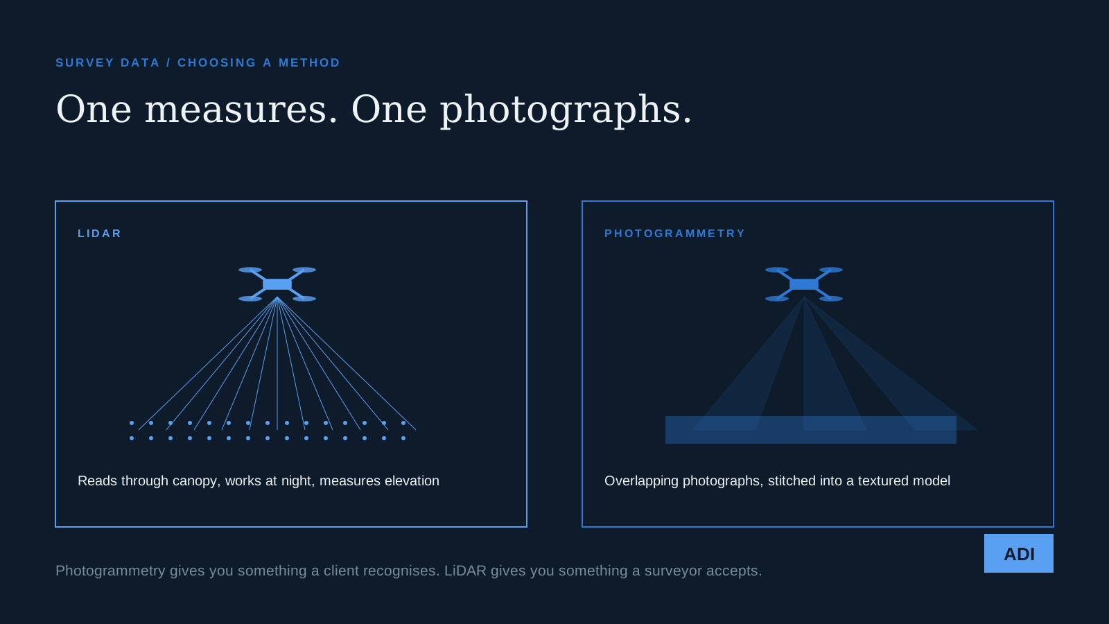
Somewhere in the last few years LiDAR became the word clients use when they mean accurate. It arrives in briefs that do not need it, and it gets left out of briefs that do. The difference between the two methods is not subtle, and choosing correctly is usually worth more than any equipment upgrade.
Photogrammetry, in one paragraph
Fly a grid, take hundreds of overlapping photographs, and let software find the same physical point in many images. From the parallax between them it works out where that point sits in space. Do this across a whole site and you get a dense coloured point cloud, a mesh, and an orthomosaic, which is the flat map-like image people usually want.
It is cheap, because the sensor is the camera already on the aircraft. It produces something anybody can look at and understand. And it is genuinely accurate when it is flown properly with ground control.
LiDAR, in one paragraph
The aircraft fires pulses of laser light and measures the time each takes to return. Instead of inferring geometry from pictures, it measures distance directly, hundreds of thousands of times a second.
It costs more, both in equipment and in processing. It does not care about light. And it can see the ground through vegetation, because some pulses find their way through gaps in the canopy and come back from the dirt underneath.
The three questions that decide it
Is there vegetation. This is the big one. Photogrammetry can only reconstruct what the camera can see, so a wooded site gives you an accurate model of the top of the trees. If you need ground elevations under canopy, for drainage, earthworks, or a topographic survey of a treed lot, LiDAR is not a preference, it is the only option.
Does anyone need to look at it. Photogrammetry produces photographic texture. Clients, planning boards, and marketing teams understand it instantly. A LiDAR point cloud is precise and, to a non specialist, unreadable. Plenty of projects have paid for LiDAR and then asked for an orthomosaic anyway.
What tolerance does the deliverable need. Volume calculations on a stockpile, progress measurement, roof areas, and site planning are all comfortably inside what well flown photogrammetry with ground control delivers. Design grade survey and anything that will be certified needs to involve a licensed surveyor regardless of which sensor collected the data, and that is a legal question rather than a technical one.
What people get wrong
The first mistake is assuming LiDAR is automatically more accurate. On bare, open, well textured ground, good photogrammetry with proper ground control points is competitive with LiDAR and produces a far more useful visual product. The advantage of LiDAR is not raw precision so much as its ability to work where photogrammetry physically cannot.
The second mistake is skipping ground control. A photogrammetric model without surveyed control points is internally consistent and can still float, sometimes by feet. We covered why in ground control points and photogrammetry.
The honest recommendation
For most Atlanta site work, a construction footprint, a commercial roof, a development parcel that has already been cleared, a stockpile yard, photogrammetry with ground control does the job at a fraction of the cost and gives you something you can put in front of a client.
Bring in LiDAR when the trees are still standing, when the site has to be captured in poor light, or when you need bare earth under vegetation. Those are real needs and they are worth the money when they are real.
Tell us what the deliverable has to prove and we will tell you which one you need, including when the answer is the cheaper one. Start here.