Estimated reading time: 4 minutes
In recent years, drones, also known as unmanned aerial vehicles (UAVs), have become indispensable for capturing expansive land areas through aerial photography and videography. This technology is versatile and dynamic, with applications spanning from mapping and surveying to monitoring and conservation. Here, we delve into the advantages and challenges of using drones for extensive land area capture.
Advantages of Drones in Capturing Large Land Areas
Efficiency and Speed
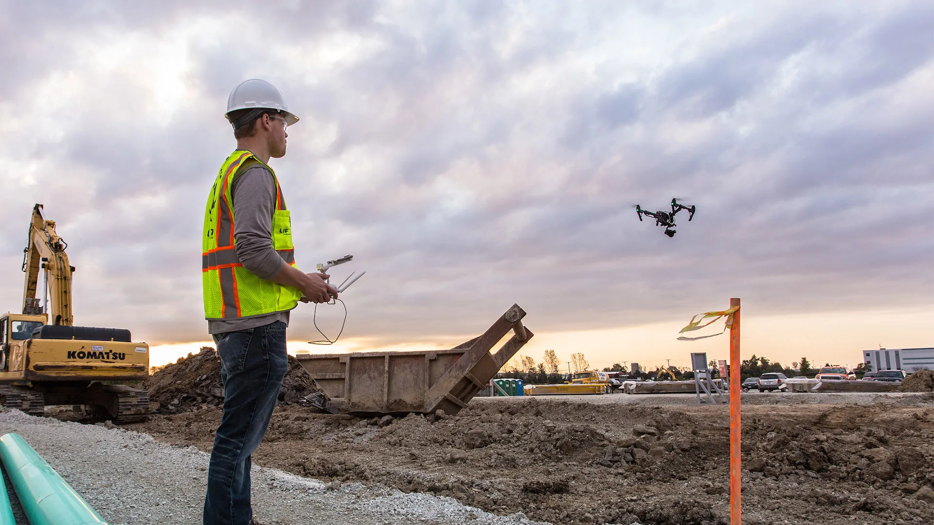
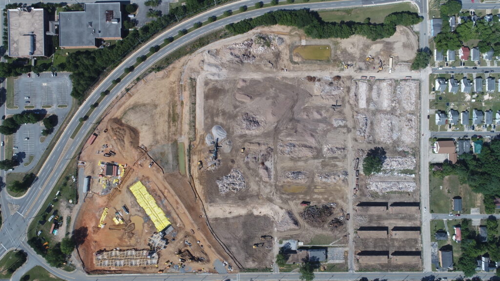
Drones excel in covering substantial land areas quickly and precisely. They can survey large expanses in a matter of hours, achieving what would take humans days or weeks. This efficiency is particularly valuable in industries like construction, where monitoring sprawling sites is crucial. Their ability to access remote or difficult terrains without much hassle makes them invaluable for surveying inaccessible regions.
Versatility
One of the key strengths of drones is their versatility. They can be outfitted with various sensors, including thermal cameras, LiDAR, and multispectral cameras, to meet diverse data collection needs. This adaptability makes them indispensable for topographic mapping, detailed land surveys, environmental monitoring, and ecosystem conservation. Additionally, drones can provide high-resolution imagery and data for applications ranging from construction progress tracking to environmental analysis.
Cost-Effectiveness
Drones offer a cost-effective alternative to traditional surveying methods like manned aircraft or ground surveys. They significantly reduce the need for extensive infrastructure and personnel, often delivering superior data quality at a fraction of the cost. This financial efficiency makes drones an attractive option for enterprises focused on cost optimization.
Challenges in Using Drones for Land Area Capture
Regulatory Complexities
Using drones for capturing large land areas involves navigating a complex web of regulations governing UAV usage and data collection. Ensuring compliance with privacy laws and obtaining the necessary permits are critical steps that require meticulous attention.
Weather Limitations
Drones are susceptible to adverse weather conditions such as high winds, rain, and snow. These conditions can disrupt operations and affect data quality. Effective scheduling and contingency planning are essential to mitigate these challenges and ensure uninterrupted data collection.
Battery Life Constraints
The limited battery life of drones poses a challenge, especially for extensive land area capture. Managing battery optimization and recharge intervals is crucial to maintain continuous data collection. This often necessitates multiple flight operations to cover large areas comprehensively.
Data Management Complexity
Drones generate large volumes of data, which presents challenges in terms of management and processing. Effective data extraction and analysis require specialized software and skilled personnel to derive meaningful insights from the collected data.
The Right App for the Project
Selecting the right app for drone mapping and data collection is crucial for maximizing the potential of drone technology. Several apps stand out for their capabilities and user-friendliness:
Litchi
Litchi is renowned for its waypoint missions and automated flight capabilities. It allows for precise control over the drone’s flight path, which is essential for detailed and consistent land surveys. Litchi also integrates well with various drones and provides an intuitive interface for mission planning.
DroneDeploy
DroneDeploy is a popular choice for its comprehensive mapping and data analysis features. It offers real-time mapping, 3D modeling, and detailed terrain analysis. DroneDeploy’s cloud-based platform makes it easy to share data and collaborate with team members, enhancing efficiency in large-scale projects.
Pix4D
Pix4D excels in photogrammetry and 3D mapping. It provides high-precision data and supports a wide range of cameras and sensors. Pix4D’s advanced algorithms ensure accurate and reliable data processing, making it ideal for complex surveying tasks.
DJI GS Pro
DJI GS Pro (Ground Station Pro) is designed for professional mapping and surveying missions. It allows for detailed waypoint planning and supports multiple flight modes. The app is particularly useful for DJI drone users, providing seamless integration and robust functionality.
Enhancing Land Area Capture with Drones
Despite the challenges, drones remain a powerful tool for capturing large land areas. By understanding and addressing these challenges, industries can maximize the potential of drones, driving efficiency and innovation.
At American Drone Industries, we specialize in leveraging cutting-edge drone technology for extensive land area capture. Our expertise and advanced equipment ensure high-quality data collection, enabling informed decision-making across various sectors. As technology evolves, our commitment to excellence keeps us at the forefront of the drone industry, providing unparalleled services to our clients.
For more information on how our drone solutions can benefit your land area capture needs, visit our website.