Estimated reading time: 2 minutes
Photogrammetry is the process of creating a 2D or 3D model of an object or landscape by capturing multiple images of it. Ground control points (GCPs) play a crucial role in the accuracy of photogrammetry images. GCPs are physical markers placed on the ground that serve as reference points for photogrammetry software to align and correct the images.
The use of GCPs ensures that the photogrammetry images are geometrically accurate, allowing for accurate measurements and precise modeling of the object or landscape. This is especially important in industries such as construction, where precise measurements and accurate modeling are essential for planning and design.
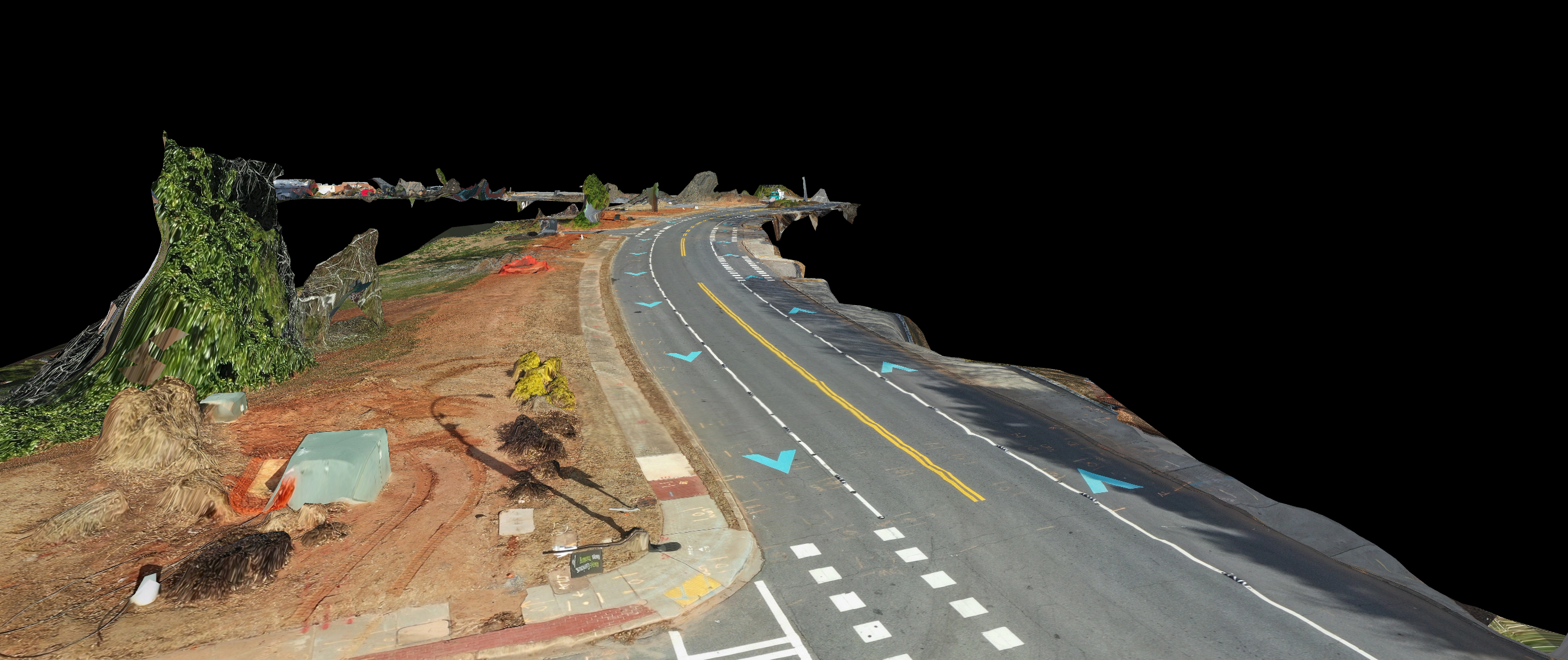
WebODM is a popular open-source platform for creating photogrammetry images and models. It uses GCPs to accurately align and stitch together images taken from drones or other aerial platforms. The software processes the images and creates a 3D model, which can then be used for a variety of purposes, such as construction site planning, land surveying, and infrastructure inspections.
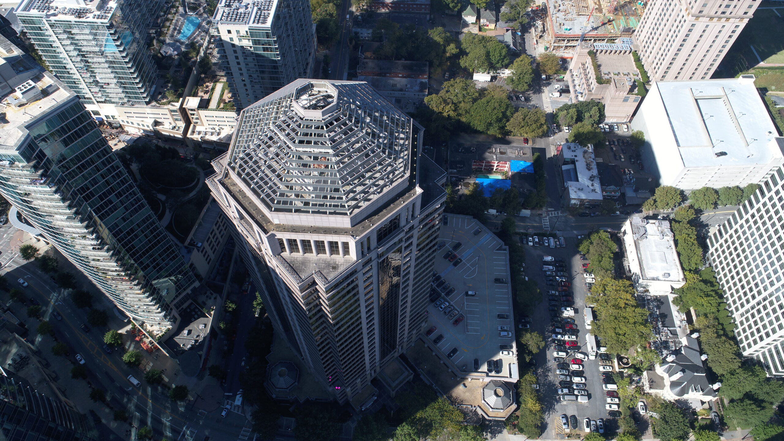
American Drone Industries has extensive experience in creating photogrammetry images for construction projects and corporate real estate. We have extensive experience with DroneDeploy, Pix4d, WebODM, and other photogrammetry platforms. We also have a record in Georgia for creating the longest 3D model built by a drone (January of 2023), measuring 1.52 square miles. Our team of experts are equipped with the latest technology and software to deliver precise and accurate photogrammetry images for our clients.
In conclusion, the use of GCPs and experience with photogrammetry software is essential for creating accurate photogrammetry images. American Drone Industries has the expertise and experience to provide high-quality photogrammetry images for construction projects and other industries. The accurate and precise 3D models produced by our team can be used for a variety of purposes, from site planning to infrastructure inspections.