Oct 15, 2024 / Inspection / 3 min read
After Helene: Aerial Damage Documentation Across Georgia
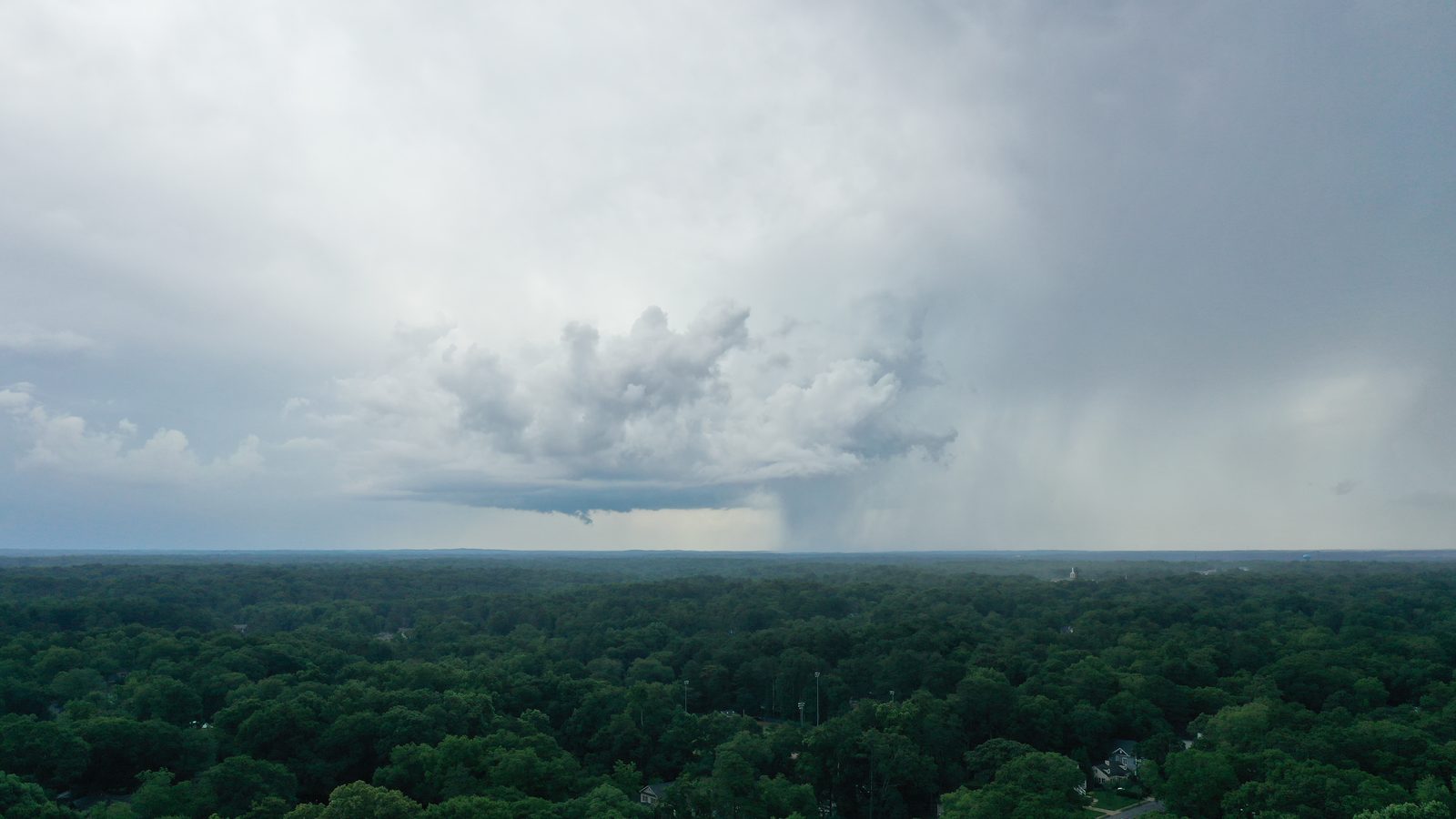
Helene came through at the end of September and did most of its Georgia damage well east and south of the metro, through Augusta and the surrounding counties, with tree damage and power loss reaching much further than people expected from a storm that had already crossed Florida. In the weeks since, we have taken a lot of calls about documenting what it left.
Some of what people ask for is genuinely useful. Some of it is being asked for too late.
The timing problem
The most valuable documentation happens before anything is moved. Once a tree crew has cut and hauled, the evidence that the tree came down on the north elevation rather than beside it is gone, and what remains is a damaged roof and an invoice.
This puts property owners in a bind, because clearing is urgent and documentation feels like it can wait. It cannot. If a claim is going to be contested, it will be contested on the question of what caused what, and that question is answered by imagery taken before the site was tidied.
What aerial documentation is good at
Scale and relationship. A photograph from the ground shows a hole in a roof. A set of overhead frames shows the hole, the tree that made it, the direction that tree fell from, the neighbouring trees still standing under strain, and the debris field, all in the same geolocated image.
It is also good at access. Large rural properties, commercial roofs, and anything where the damage is on a slope facing away from the road are all difficult and slow to survey on foot, particularly when the ground is still wet and unstable.
What it is not
It is not an engineering assessment and it is not a claim. We photograph and we document. A structural engineer decides whether a building is safe, and an adjuster decides what a carrier owes. Our job is to make sure both of them are looking at complete information rather than at whatever the property owner managed to photograph from the driveway.
It is also not a substitute for interior documentation. Water that came in through a roof does its damage inside, and that record has to be made on foot.
Flying after a storm
There are constraints worth knowing about. Temporary flight restrictions go up over disaster areas to protect emergency aircraft, and they are absolute. During active response operations, low altitude helicopters are working in exactly the airspace a drone would want, and interfering with that is both illegal and genuinely dangerous.
Power infrastructure is the other hazard. Downed lines are hard to see from above, conductors may still be live, and the ground crew is standing among them. We treat a storm site as an active hazard area rather than as a normal property visit.
If you manage property in the affected counties
Three things are worth doing now. Photograph what has not yet been cleared, even if the claim is already filed, because supplemental claims are common and later disputes are usually about extent rather than existence. Get a full roof set on buildings that appear undamaged, since granule loss and lifted shingles from wind are invisible from the ground and produce leaks months later. And if you have a portfolio of buildings, get a baseline set on the ones that were untouched, so the next storm does not start from nothing.
That last point is the argument we made in roof inspections before storm season, and Helene has made it more convincingly than we did.
We are based in Atlanta and we travel across Georgia for this work. Tell us where the property is and what has already been cleared, and we will tell you honestly whether a flight is still worth doing.