Estimated reading time: 3 minutes
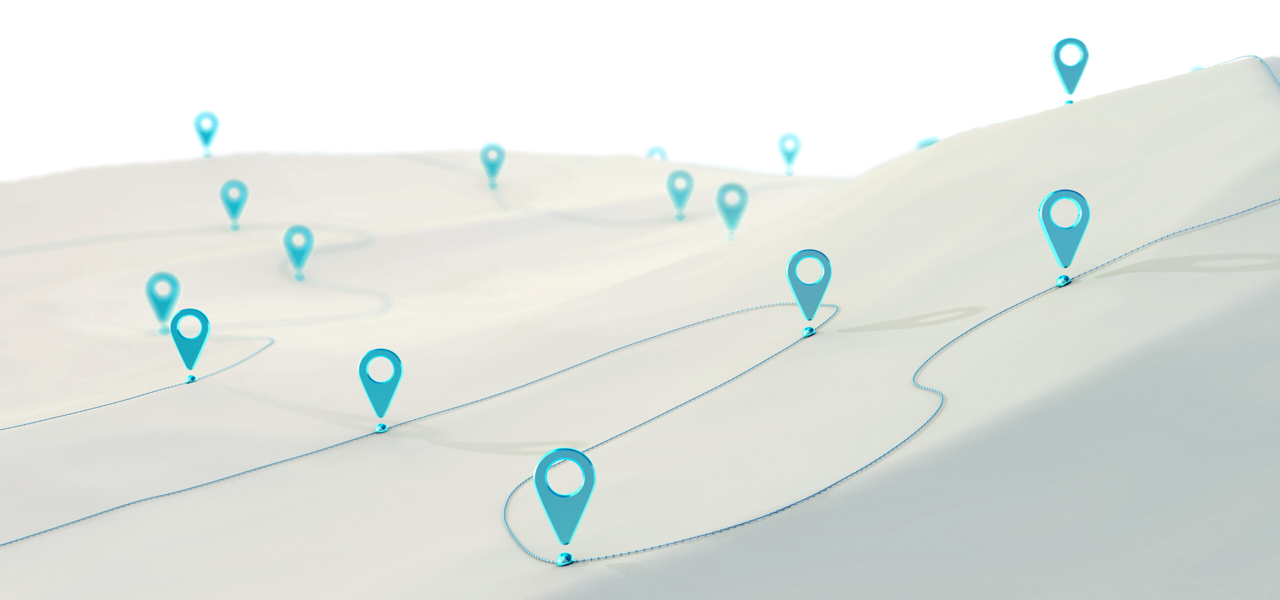
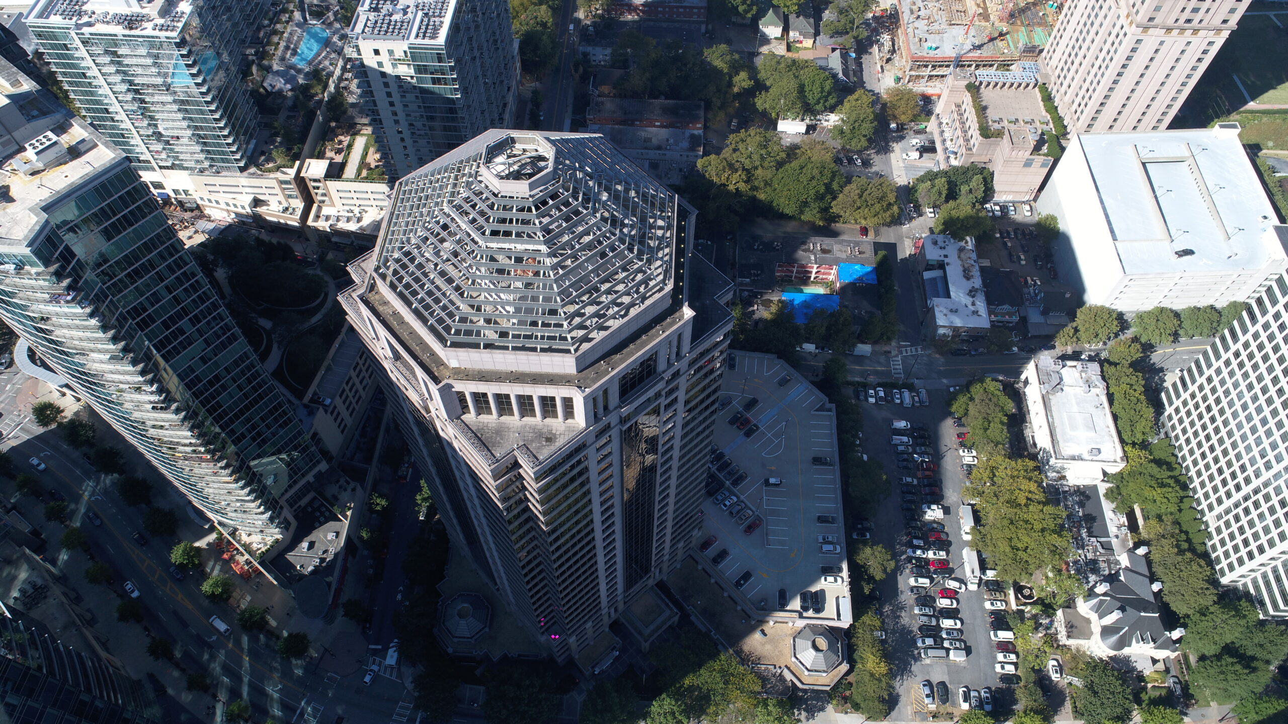
In the realm of aerial technology, drones have emerged as a revolutionary force, transforming the way we capture images and videos of expansive land areas. Their unique perspective and efficient coverage capabilities have catapulted them into the forefront of various industries, but one of their most remarkable applications is in the realm of photogrammetry. This powerful technique enables the stitching together of multiple drone-captured images to create seamless, high-resolution representations of vast landscapes, opening up new horizons for mapping, surveying, and monitoring large land areas.
Unraveling the Art of Photogrammetry:
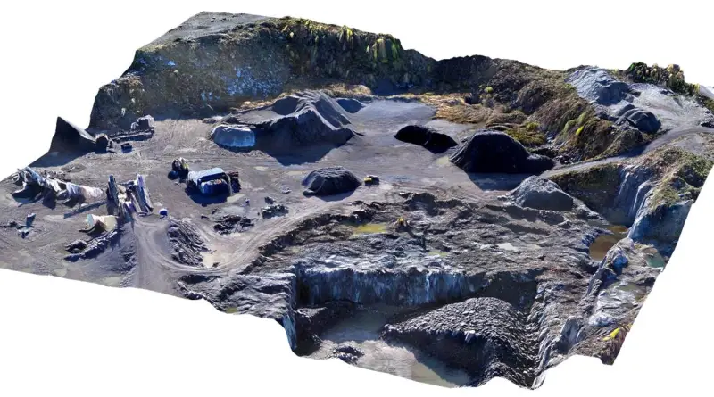
Photogrammetry, at its core, is the art of using photographs to measure and map features on the Earth’s surface. When harnessed in conjunction with drones, this art takes on a whole new dimension. The process involves capturing multiple images from different angles and positions as the drone traverses the landscape. Subsequently, these images are meticulously stitched together using specialized software, culminating in the creation of a single, large, and highly detailed image. Beyond its role in crafting detailed maps, photogrammetry can also yield 3D models and orthophotos—images that have been meticulously corrected for distortion and perspective.
Efficiency Redefined:
One of the most pronounced advantages of deploying drones for photogrammetry is their capacity to rapidly and efficiently cover expansive areas of land. Drones, equipped to soar at low altitudes, can traverse vast terrains within relatively short timeframes. This attribute renders them particularly suited for mapping and surveying large expanses of land, encompassing diverse landscapes such as sprawling forests, expansive mining sites, and bustling construction zones.
The Quest for Resolution:
In the realm of imagery, resolution reigns supreme, and drones excel in this arena. Armed with high-resolution cameras, drones capture images with an intricacy and detail that eludes traditional ground-based photography. This unparalleled level of detail proves invaluable when crafting meticulous maps and three-dimensional models of extensive land areas.
Unparalleled Access and Flexibility:
Drones rewrite the rules of accessibility and flexibility in the world of photography. They boldly venture over challenging terrains, scaling mountains and delving into rugged wilderness areas with ease. Additionally, drones shine in capturing images in hard-to-reach locations, including offshore oil rigs and remote mining sites, where ground-based photography would be logistically challenging or prohibitively costly.
A Bright Future for Photogrammetry and Drones:
In conclusion, drones have catapulted themselves into the echelons of powerhouses for mapping, surveying, and monitoring large land areas. The fusion of drone technology with the photogrammetry technique presents an unparalleled opportunity to create comprehensive maps, intricate 3D models, and distortion-corrected orthophotos. These outputs find applications in a multitude of industries, including agriculture, construction, mining, and more, where precision and efficiency are paramount.
As the evolution of drone technology continues to unfold, the possibilities for photogrammetry seem boundless. The marriage of innovation and artistry, as witnessed in the symbiotic relationship between drones and photogrammetry, promises to redefine the way we interact with, understand, and harness the vast landscapes that surround us. With each flight, drones soar higher, unveiling new vistas, and unlocking new dimensions in the world of surveying and mapping.