Estimated reading time: 3 minutes
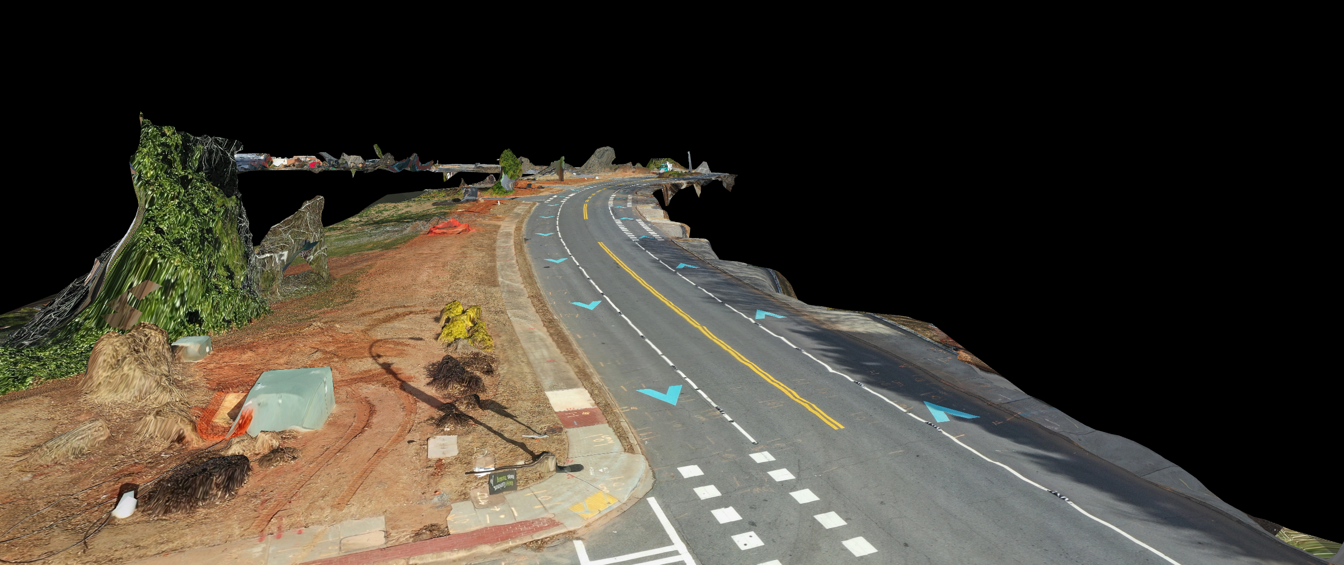
For those acquainted with the world of drones, the impact they’ve made in the field of photogrammetry is nothing short of revolutionary. Photogrammetry, a discipline rooted in the art and science of using photographs to meticulously measure and map the Earth’s surface, has experienced a seismic shift thanks to these unmanned aerial vehicles (UAVs). Equipped with high-resolution cameras and state-of-the-art navigation systems, drones have not only quickened the pace of data acquisition but have also elevated the precision to unprecedented levels. Let’s delve deeper into the tools and benefits that underpin this transformation.
Uncharted Territory Made Accessible:
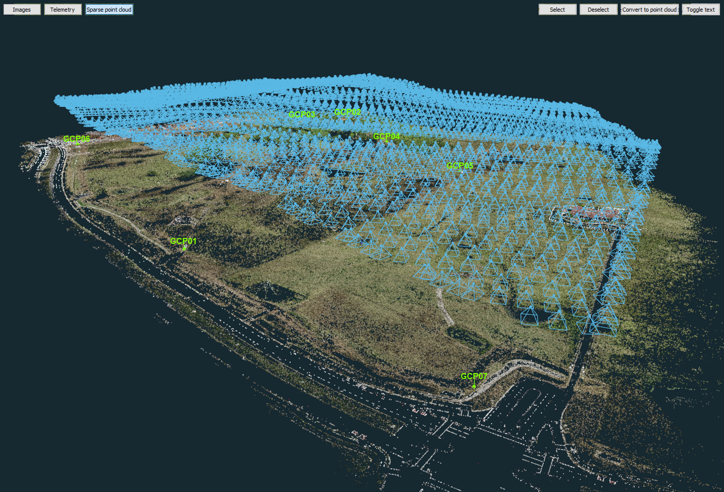
One of the foremost advantages of employing drones in photogrammetry is their unparalleled ability to access areas that were previously challenging or inaccessible to traditional surveying methods. These aerial marvels glide gracefully over rugged terrains, soar above bodies of water, and venture into hazardous environments, all while providing intricate images and data that would have remained beyond the reach of manual efforts. This accessibility factor alone has opened up a treasure trove of possibilities for applications in various sectors.
Efficiency Redefined:
In the realm of efficiency, drones have scripted a new narrative. Traditional photogrammetry techniques involved the arduous task of capturing multiple photographs from diverse angles, followed by painstaking image processing using specialized software to sculpt a 3D model of the area. Drones, on the other hand, have rewritten this narrative. In a single flight, they can effortlessly snap multiple images, slashing the time investment and reducing the need for multiple field visits. The outcome? A paradigm shift in the efficiency of data collection, allowing professionals to channel their time and resources more effectively.
Sensors that Expand Horizons:
The power of drones in photogrammetry extends beyond their imaging capabilities. They can be fitted with a gamut of sensors, each serving to magnify their capabilities manifold. Thermal cameras and LiDAR sensors are prime examples. These sensors open up the realm of multi-spectral data acquisition, enabling the identification and mapping of various elements. Vegetation, mineral deposits, and even structural damage come into sharp focus with this multi-spectral prowess. The ability to perceive beyond the visible spectrum empowers industries like agriculture, geology, and structural analysis in ways previously unattainable.
A Glimpse into the Future:
In conclusion, drones’ contribution to the realm of photogrammetry is undeniable. The confluence of accessibility, efficiency, and multi-spectral sensing has ushered in a new era of data acquisition and analysis. As technology continues its inexorable march forward and the cost of drones continues to plummet, we can safely predict that the use of drones in photogrammetry will proliferate across a myriad of industries. From surveying vast expanses of land to optimizing agricultural practices and enhancing construction methodologies, the possibilities are boundless, and the future looks undeniably promising. The drones have not just arrived; they are here to redefine the rules of the game.