Mar 17, 2026 / Survey / 3 min read
Gaussian Splatting for Property Walkthroughs, and When Not to Use It
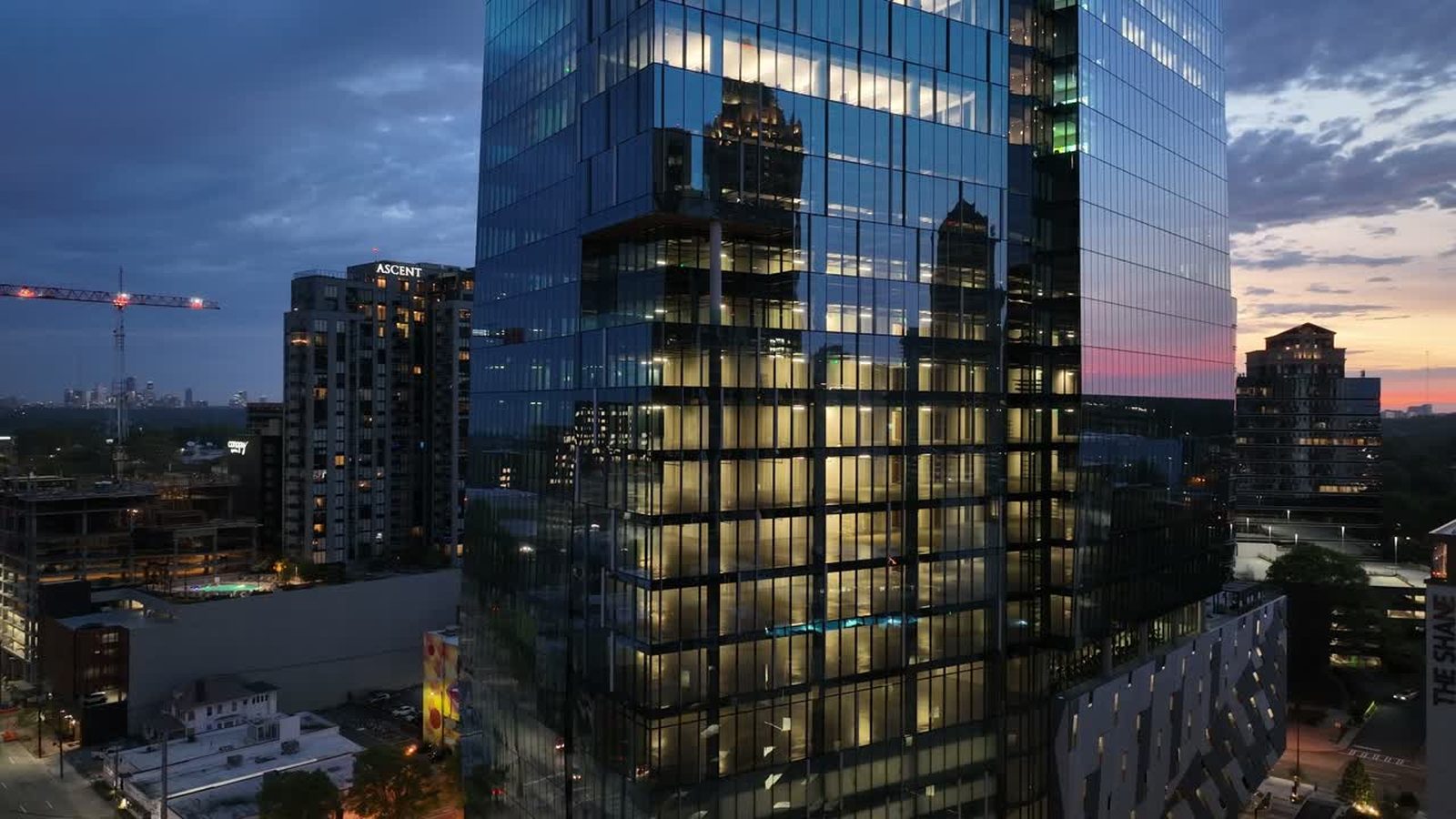
Photogrammetry builds a mesh: a surface of triangles with photographs stretched over it. It is measurable, it loads in engineering software, and it has always looked slightly wrong. Vegetation turns to melted plastic, thin structures like railings disappear, and glass confuses it completely.
Gaussian splatting takes a different approach. Instead of a surface it stores millions of small translucent blobs, each with a position, a colour, and a directional appearance. Rendered together they reproduce the scene with a fidelity a mesh cannot touch, including reflections and soft edges, and they render in real time in a browser.
What it is genuinely good at
Anything where a human being is going to look at it. Property marketing, where a prospective tenant wants to move around a building rather than watch a video of it. Design visualisation, where an architect needs the existing site to sit convincingly behind a proposal. Public consultation, where the whole point is that a non specialist audience understands what they are seeing.
It also handles the subjects that break photogrammetry. Trees look like trees. Glass curtain walls reflect. Thin railings and lattice survive. On a site with mature landscaping or a lot of glazing, the difference is not subtle.
What it is not
It is not a measurement. There is no surface to measure to, only a cloud of blobs tuned to look correct from the directions you photographed. Distances taken off a splat are indicative at best, and there is no meaningful way to certify one.
It is also viewpoint dependent in a way meshes are not. The reconstruction is excellent where you flew and degrades where you did not, and it can invent plausible looking nonsense in the gaps. That is fine for a walkthrough on a path you controlled and dangerous if somebody treats the output as a survey.
So the pairing that makes sense is both: photogrammetry or LiDAR for anything anyone will measure, splatting for anything anyone will look at. We laid out the measurement side in LiDAR or photogrammetry.
Capturing for it
The capture is closer to videogrammetry than to a survey grid. Continuous video, multiple orbits at different heights and camera angles, slow enough that no frame is blurred, and heavy overlap. Because appearance is directional, you need genuinely varied viewpoints rather than one consistent angle, which is the opposite of what a mapping flight wants.
Light needs to be constant. A splat trained on footage where the sun came out halfway through will show that inconsistency as an odd shimmer as you move around the model. Overcast, or a tight window at a stable time of day, gives the cleanest result.
Delivery
The output runs in a browser on a link, which is the practical advantage over every previous generation of 3D deliverable. No plugin, no download, no specialist software. File sizes are manageable and the interaction is immediate, which is why marketing teams take to it faster than technical teams do.
Expect it to be a supporting asset rather than a replacement. A short aerial video still does the emotional work better, and a floor plan still answers the questions a buyer actually has. The splat is the thing they spend eight minutes in when they are seriously interested.
If you have a property or a site where a walkthrough would do more than a video, tell us about it and we will tell you whether it is a good candidate.