Sep 16, 2025 / Survey / 3 min read
Videogrammetry: A 3D Site Model From a Five Minute Orbit
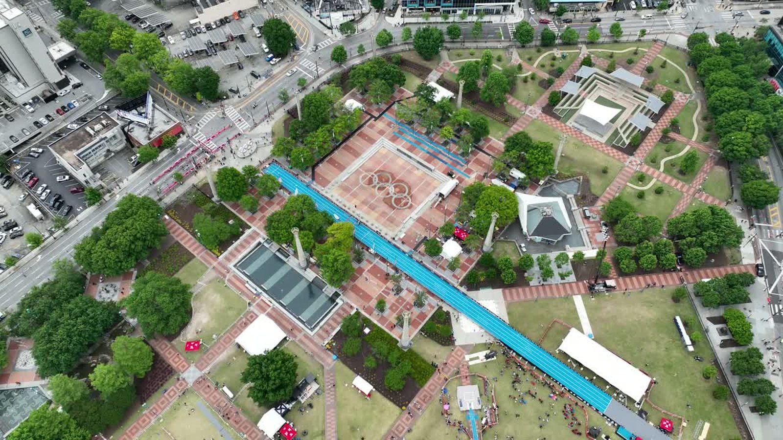
Photogrammetry has always meant a grid. Plan a flight, fly a lawnmower pattern with eighty percent overlap, take several hundred stills, process overnight. It works, it is accurate, and it is slow enough that nobody does it casually.
The newer approach is to fly a continuous orbit and let the processing pull frames out of the video. Videogrammetry is not a different physics, it is the same reconstruction from a different capture method, and the practical difference is enormous.
Why video changed the maths
A grid flight optimises for coverage with the fewest images, because every image used to be expensive to process. Video inverts that. A five minute orbit at 4K gives you thousands of frames, massively overlapping, from continuously varying angles. Older software choked on that. Current feature matching, with a lot of the heavy lifting moved onto GPUs and increasingly into cloud processing, handles it comfortably and often converges faster because the extra angles resolve ambiguities the grid never sees.
The result on a typical building or stockpile is a capture phase that drops from forty minutes to five, with processing measured in minutes rather than overnight.
What it is genuinely good for
Anything where speed matters more than the last centimetre. A stockpile volume during a working day. A damaged structure that has to be recorded before crews start clearing, which is the case we made after Helene. A building capture for a design team who need geometry rather than a certified survey. A monthly progress model where consistency matters more than absolute precision.
It is also good for the sites where a grid is impractical, because complex vertical structures are covered better by an orbit that varies its angle continuously than by a flat pattern flown overhead.
Where the grid still wins
Large flat sites. A hundred acre parcel is covered efficiently by a planned grid at altitude and inefficiently by orbiting. Anything needing survey grade accuracy still wants full resolution stills, corrected positioning, and ground control, for the reasons in RTK and PPK.
And video frames are compressed. A still off the same sensor carries more information than a frame lifted from a codec, and on a site with fine texture, gravel, mesh, thin steel, that difference shows in the model.
How we fly one
Slowly, and at more than one height. A single orbit at a fixed altitude gives the reconstruction only one vertical perspective, so we fly two or three concentric orbits at different heights and camera angles, keeping the subject in frame and the speed low enough that no frame is smeared. Motion blur is the enemy, since a blurred frame contributes nothing and can actively confuse matching.
Consistent light matters too. Orbiting a building means the sun moves from behind you to in front of you, and the reconstruction has to reconcile the same wall looking different in each. Overcast is the friend here, which is the one situation where flat grey light is what we want.
What to ask for
If somebody offers you a rapid 3D capture, ask what the deliverable is measured against. A model that looks right is not the same as a model that is right, and the check is still a handful of surveyed points held back and compared against the result.
Used honestly, this turns 3D capture from a scheduled event into something we can do at the end of an ordinary site visit, and that changes how often it is worth doing.
Tell us what you need modelled and we will tell you whether it is a five minute orbit or a proper grid.